When this happens, it's usually because the owner only shared it with a small group of people, changed who can see it or it's been deleted.
When this happens, it's usually because the owner only shared it with a small group of people, changed who can see it or it's been deleted.
When this happens, it's usually because the owner only shared it with a small group of people, changed who can see it or it's been deleted.
United in Science 2023, by the World Meteorological Organization (WMO)
A multi-organization high-level compilation of the latest weather-, climate and water-related sciences and services for sustainable development, including services for health.
Conclusion: "Enhancing transdisciplinary collaboration between the weather, climate, water and health science communities will be crucial in development of climate services for the health sector"
When this happens, it's usually because the owner only shared it with a small group of people, changed who can see it or it's been deleted.
In a study of 20 years of data from the NASA/German GRACE and GRACE-FO satellites, two NASA scientists confirmed that major droughts and pluvials — periods of excessive precipitation and water storage on the landscape — have been occurring more often. They also found that the worldwide intensity of these extreme wet and dry events – a metric that combines extent, duration, and severity — is closely linked to global warming.
NASA Scientific Visualization Studio - Water Cycle Extremes: Droughts and Pluvials
This visualization shows extremes of the water cycle — droughts and pluvials — over a twenty-year period (2002-2021) based on observations from the GRACE and GRACE-FO satellites. Dry events are shown as red spheres and wet events as blue spheres, with earlier years being shown as lighter shades ...
When this happens, it's usually because the owner only shared it with a small group of people, changed who can see it or it's been deleted.
When this happens, it's usually because the owner only shared it with a small group of people, changed who can see it or it's been deleted.
In a just published litterature "review of Importance of Weather and Environmental Variables in Agent-Based Arbovirus Models", Pascoe et al. conclude that "climatic and environmental factors may influence the arbovirus disease outbreak, transmission, and surveillance. (...) it is crucial to consider the influence of climatic and environmental factors, especially in Africa, where there are limited studies exploring this phenomenon."
Review of Importance of Weather and Environmental Variables in Agent-Based Arbovirus Models
The study sought to review the works of literature on agent-based modeling and the influence of climatic and environmental factors on disease outbreak, transmission, and surveillance. Thus, drawing the influence of environmental variables such as vegetation index, households, mosquito habitats, bree...
Nicely designed world maps of mortality rates of communicable and non-communicable diseases in 2019, proposed by Cartoprodig (UMR PRODIG) in their great maps repository (over 400 maps)
www.cartoprodig.cnrs.fr/carte/taux-de-mortalite-par-cause-de-maladies-non-transmissibles-du-total-2019-6/
www.cartoprodig.cnrs.fr/carte/taux-de-mortalite-par-cause-de-maladies-transmissibles-maternelle-perinatale-ou-nutritionnelle-du-total-2019-6/
Télécharger (JPG pour écran, 1,3 Mo) Télécharger (PDF pour impression, 3,1 Mo)Tous les contenus de ce site internet sont publiés sous licence Creative Commons Paternité, pas d’usage commercial, pas de modification.Pour en savoir plus, consultez le site officiel. Source à indiquer : © cart...
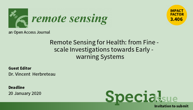
Special Issue on “Remote Sensing for Health: from Fine-scale Investigations towards Early-warning Systems” in the Remote Sensing Journal (IF 5.3), with 11 articles published in 2020


