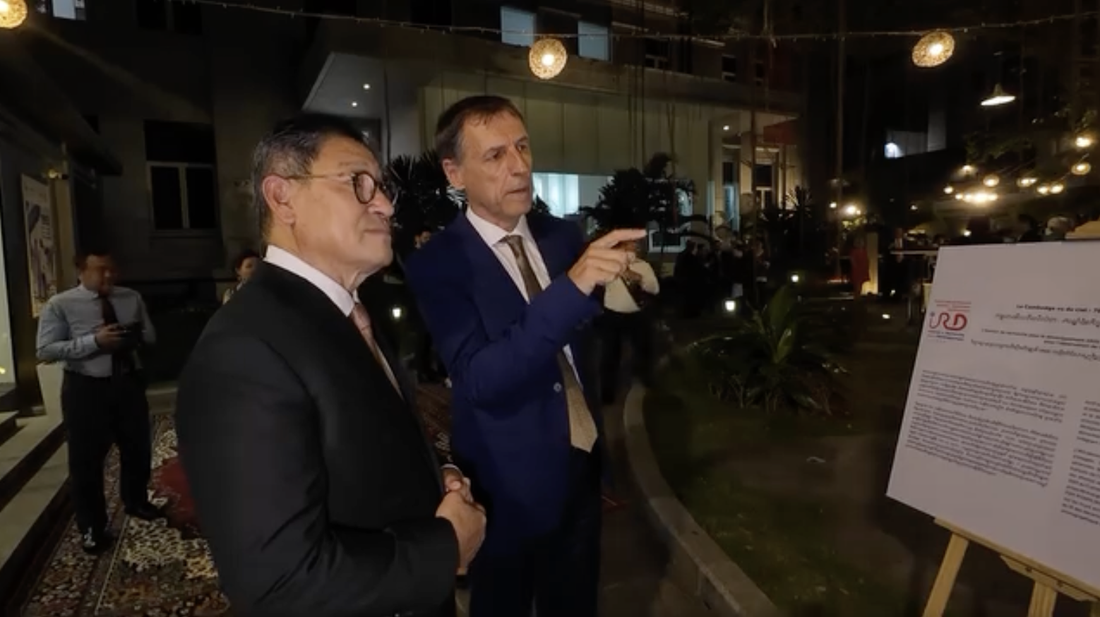
- Opening of the Khmer Aerial Photographic Archive exhibition, in the frame of the 70th anniversary of the Indepence of Cambodia
Thanks Jeff Périgois for this video
- Khmer Aerial Photographic Archive (FSPI-R KAPA project, 2023-2024): Presentation of the project during the Kick-Off meeting on November 7th 2023
Thanks Jeff Périgois for this video:
- Wat-Health Project “Floods and Health Risks in Cambodia” (FSPI 2021-2022) aimed to determine how and how changes in the river flood regime affect the distribution of pollutants and cause changes in the biodiversity of pathogens and vectors of water-related diseases, ultimately with effects on health, agricultural production and the environment. The project brought together 4 IRD UMRs (G-EAU, Mivegec, Espace-Dev and IGE) as well as partners in Cambodia (the Pasteur Institute of Cambodia, the Institute of Technology of Cambodia and the Royal University of Agriculture). Due to its multidisciplinary nature, this research topic required the coordination of multiple overlapping themes. The film Wat-Health returns to this multidisciplinary adventure through the point of view of its speakers who show some interests and difficulties. Director: Aurélie Surjus Operator: Simon Guyomard © IRD 2023
- 08/2022: Meriem M’Zoughi introduce the OHARAT Project (funded by the FSPI OHSEA)
- 21/10/2021: Vincent Herbreteau (IRD) et Florian Girond (IRD-IPC) présentent le projet SCO ClimHealth à la Trimestrielle du Space Climate Observatory (SCO)
- 10/2021: Animated presentation of our ClimHealth Project (funded by CNES, 2020-2022) (https://www.spaceclimateobservatory.org/climhealth-yangon)
(Discussion organized by Alliance française de Bangkok)
- 12/02/2021: Interview of Vincent Herbreteau, about our contribution to Covid-19 response in Cambodia working on data management and knwoledge transmission through the construction of a COVID dashboard (https://covid.geohealthresearch.org/)
(funded by AFD ECOMORE II – Topup Covid: supporting front-line laboratories in southeast Asia)
- 2019: ECOMORE II Project (funded by AFD): Visit of the schools where entomological surveys are conducted. Field survey is necessary to observe the environment, record landscape description before doing spatial analyses (Images taken by Vincent Herbreteau, IRD)
- 12/2017: Florian Girond présente ses travaux de thèse sur la mise en place d’un système d’information géographique pour la détection précoce et la prédiction des épidémies de paludisme à Madagascar (Travaux réalisés à l’Institut Pasteur de Madagascar, en collaboration avec l’UMR Espace-Dev).
- 16/11/2017: Christophe Révillion (Univ. Réunion, Station SEAS-OI) présente le Projet Sentinel-2 Malaria, et plus spécifiquement la création automatisée d’indicateurs environnementaux à partir des images satellite Sentinel-2 pour la surveillance sanitaire.
(Financé par le CNES TOSCA, 2017-2019)
08/2012: Stéphane Dupuy (Cirad, TETIS) presents our landscape study of the distribution of rodents in South-East Asia at the GEOBIA Conference: “Land-cover dynamics in Southeast Asia: Contribution of object-oriented techniques for change detection“. This work was realized in the frame of the ANR CEROPath Project.


